- Stunning Detached Home
- Glamping Pod Business
- Permission for Third Pod
- Sought After Village
- Lincolnshire Wolds Location
- Extended & Re-fitted Kitchen
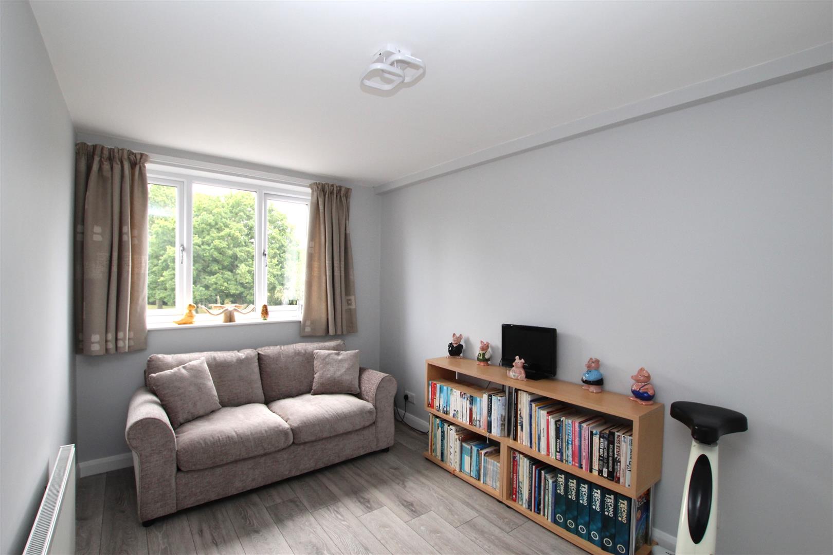
- Four Good Bedrooms
- En-Suite Plus Bathroom
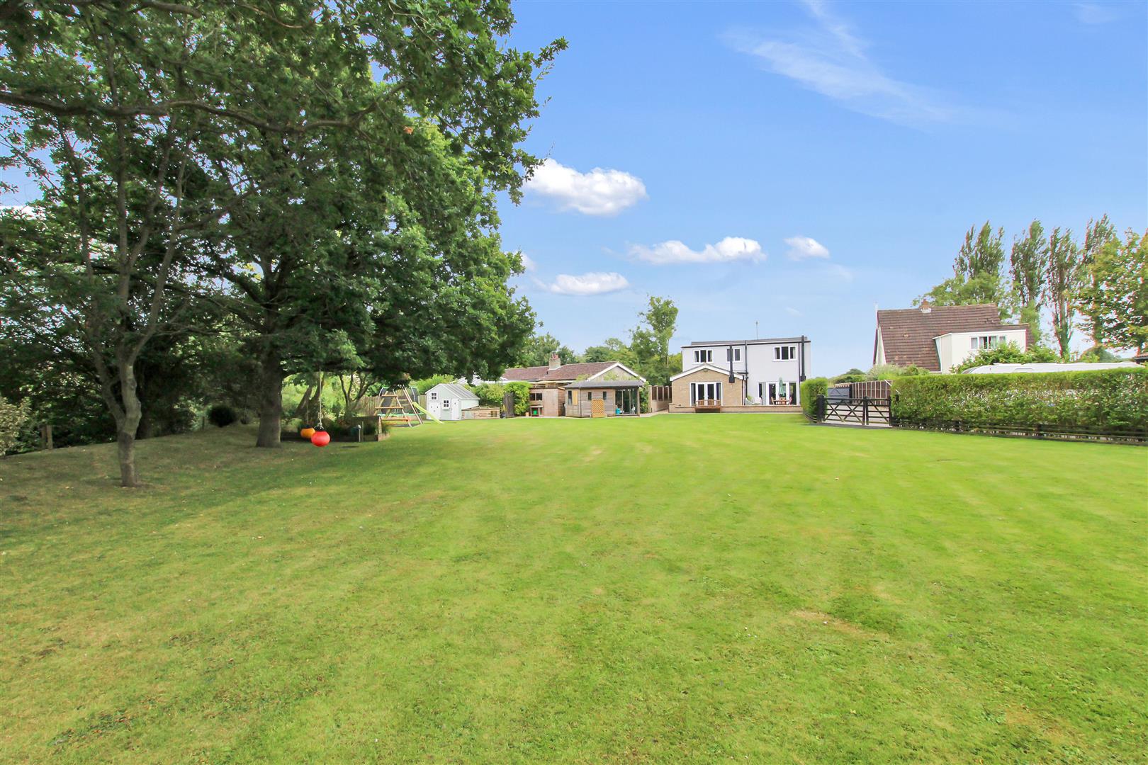
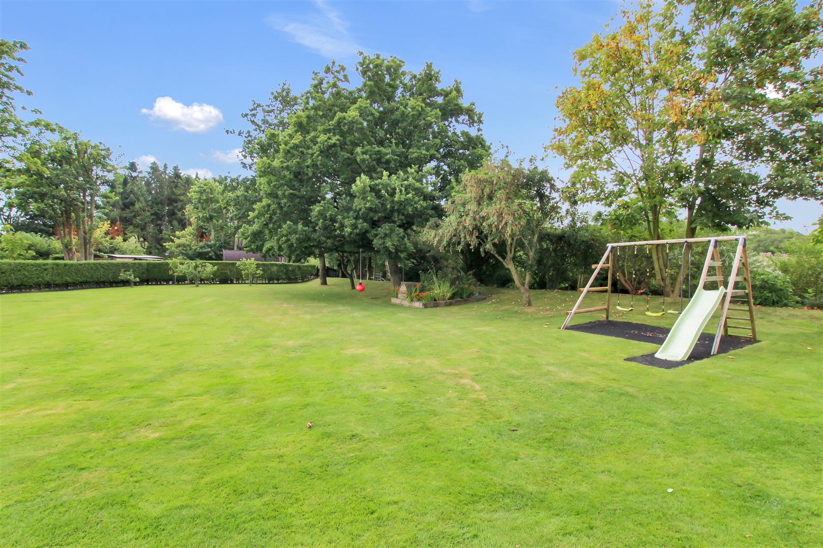
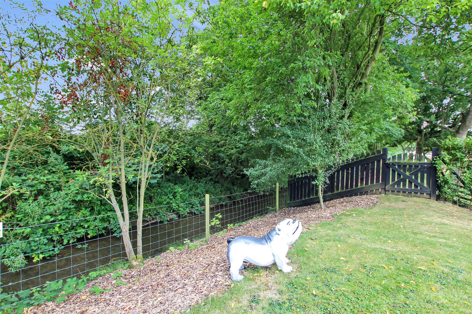
- Approximately 1 Acre Plot
- Hot Tub Room & Pod Garden


4
2
2
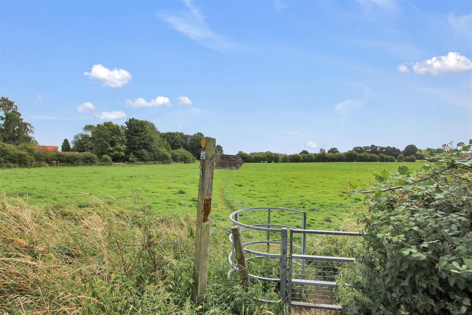
A Stunning Detached Home and Excellent Business Opportunity, currently set up as beautiful family house which currently runs Two Glamping Pods and with permission for a Third Pod. Set in the heart of this sought after village at the foot of the Lincolnshire Wolds. Less than 13 miles from Louth and 14 miles from Market Rasen both with excellent ‘every-day’ shopping and leisure services. The village is believed to date back to the Doomsday Book, so steeped in history and is a popular destination for walkers and cyclists alike.
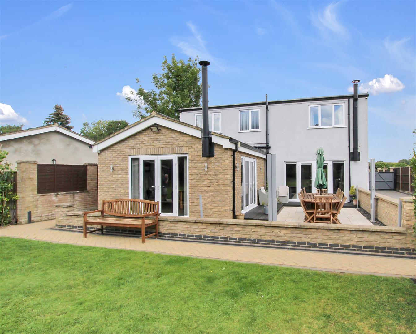
The immaculately presented accommodation comprises:- Reception Hall, Study with built-in storage, ‘L’ Shaped Living Room with Study Area having a log burner, Re-Fitted Kitchen/Dining/Family Room with cream modern unit and contrasting ‘Pietro Oatmeal’ solid work-surfaces and multi fuel burner, Utility/Boot Room and Ground Floor Cloakroom. On the First Floor there are Four Good Sized Bedrooms, Re-Fitted Bathroom with walk-in shower and Re-Fitted Bathroom also with ‘Rain Shower’. Main home and pods warmed by Gas Radiator Heating with individual boilers. UPVC double glazing to the main home and pods. Set in a plot of abut 1 acre – The frontage has gravelled parking and double gates to Rear Garden along with the Garage areas, Hot Tub Room and Glamping Pods. Internal Viewing is Highly Recommended.
Reception Hall -
Half panelled composite front door with two double glazed inserts and double glazed side screens. Double radiator. Stairs to First Floor. Herring bone style, pale grey wood grain effect flooring. White panelled doors off plus glazed door to Kitchen/Dining/Family Room.
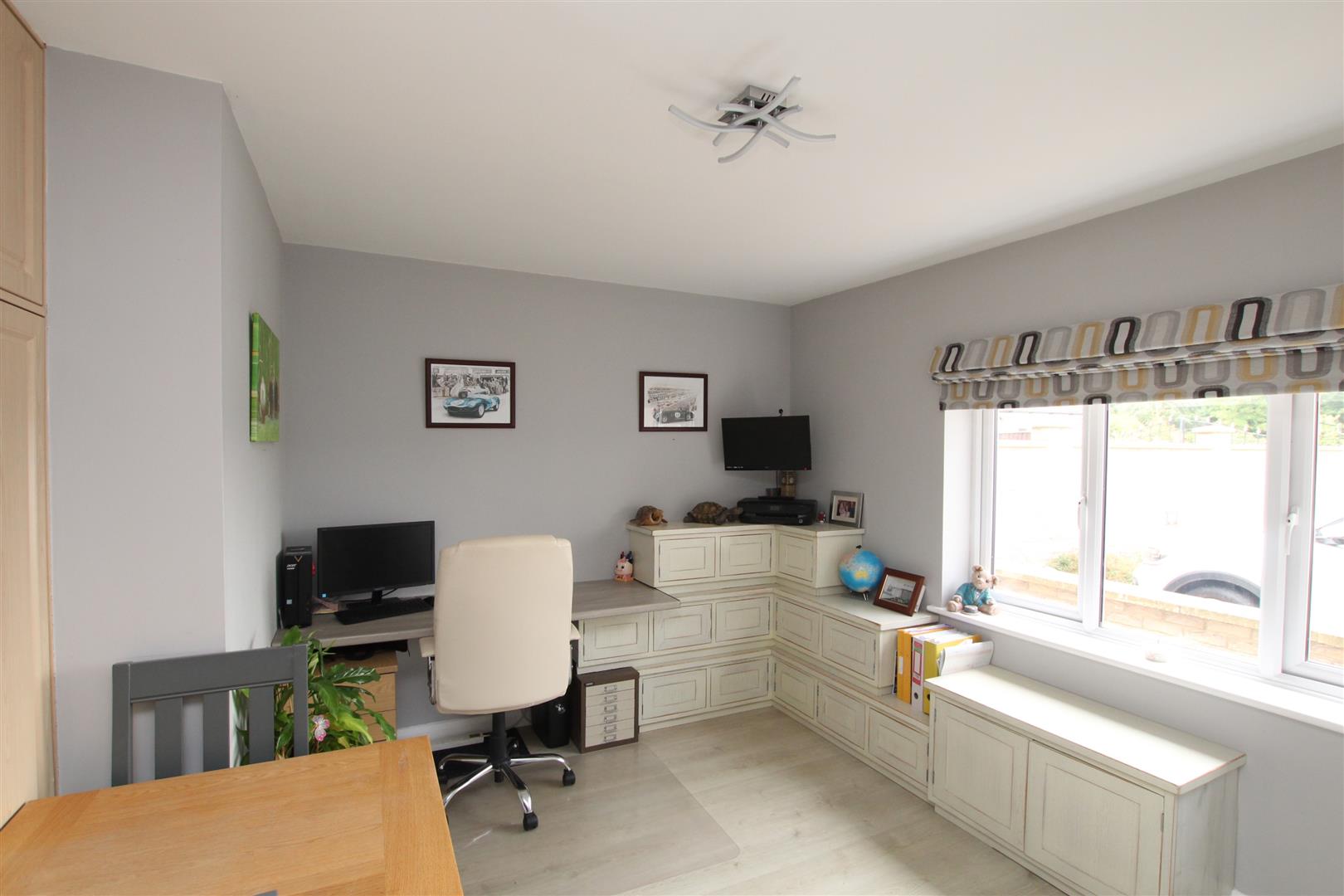
Study/Bedroom Five - 3.18m x 4.01m plus fitted cupboards (10'5 x 13'2 p
Range of two double, sliding fronted wardrobes/storage cupboards with matching storage over. Window to front. Double radiator.
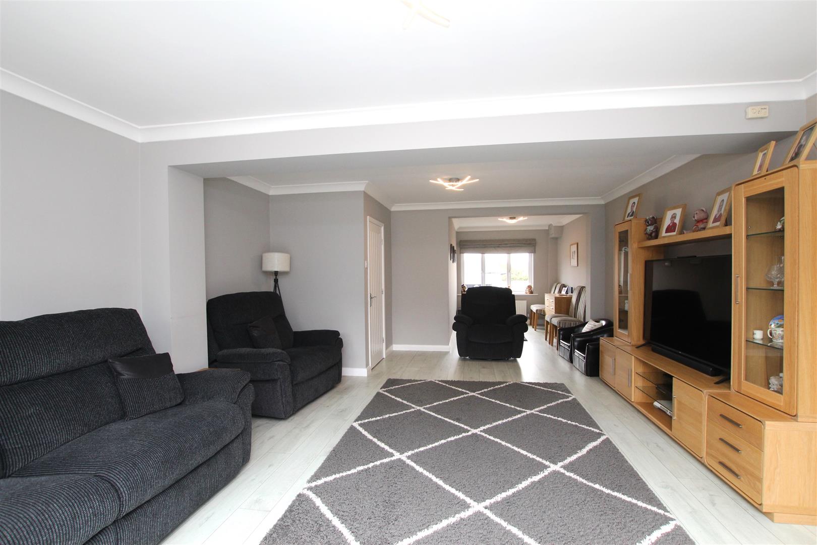
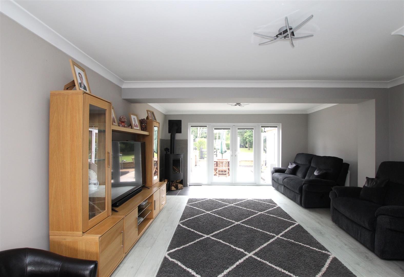
'L' Shaped Living Room/Study Area - 6.17m x 4.60m plus 3.45m x 2.39m (20'3 x 15'1 plus
Log burner. Coving. Two double radiators. Window to front. uPVC double glazed, double doors to rear patio and garden with matching side screens.
Utility/Boot Room - 2.77m x 3.76m (9'1 x 12'4)
Modern grey gloss finish wall and base units. Contrasting dark grey ‘crackle’ effect work-surfaces with inset stainless steel sink. Plumbing for washing machine. Window to side. Double glazed door to side. Double radiator. Matching cupboard housing the gas boiler. White panelled door to:-
Cloakroom -
White suite of Low Level W.C. Corner wash basin. Radiator.
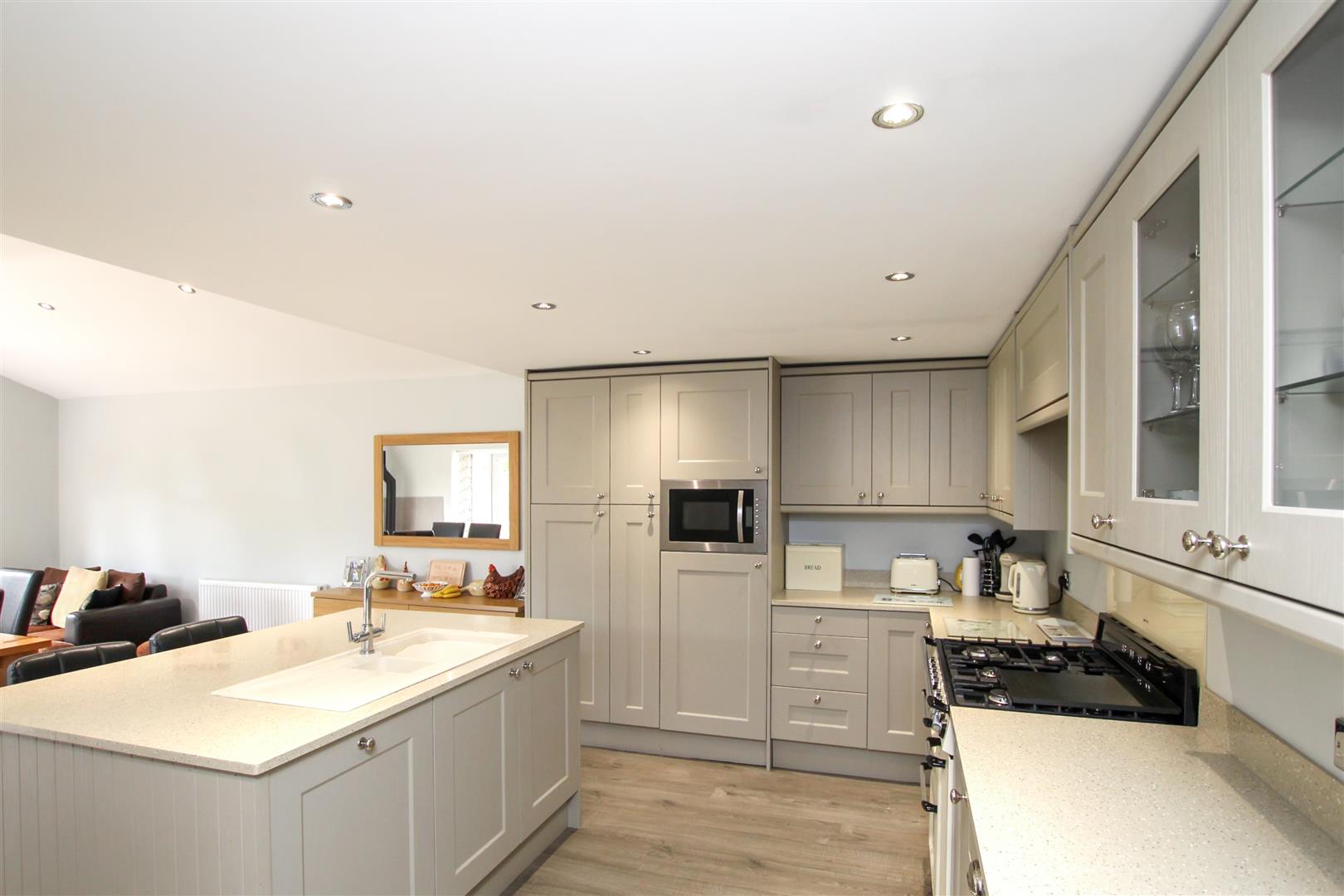
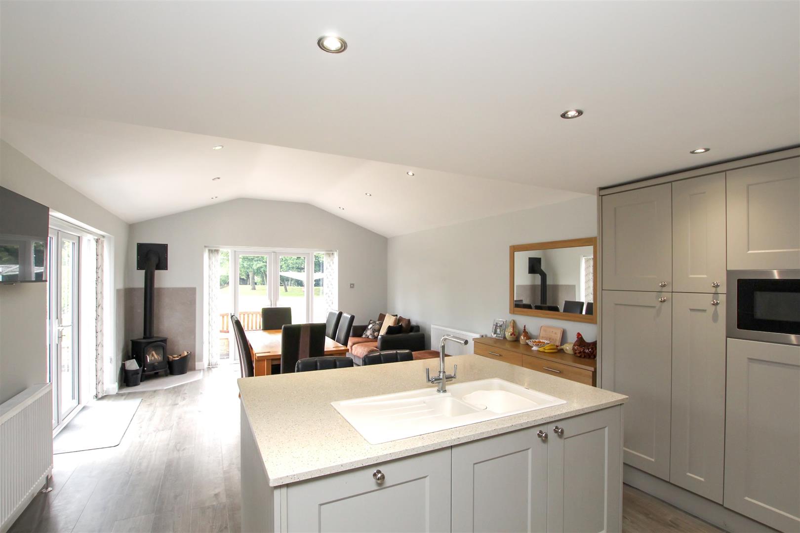
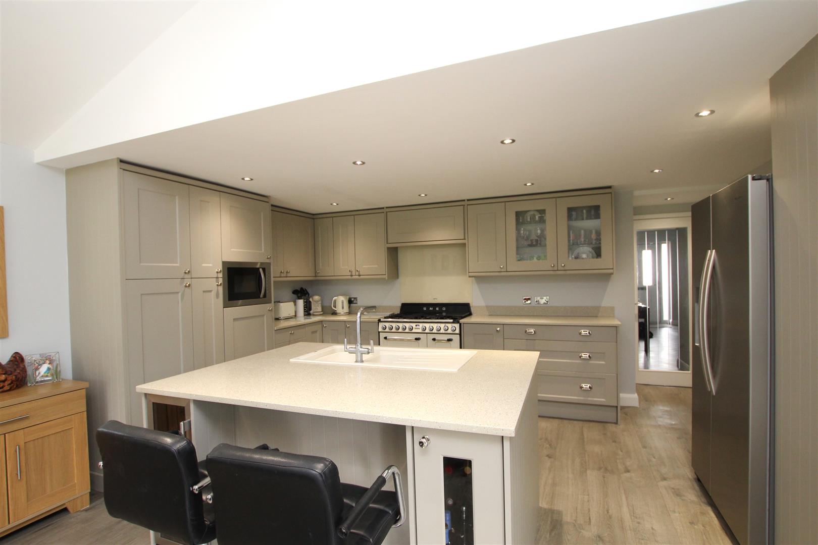
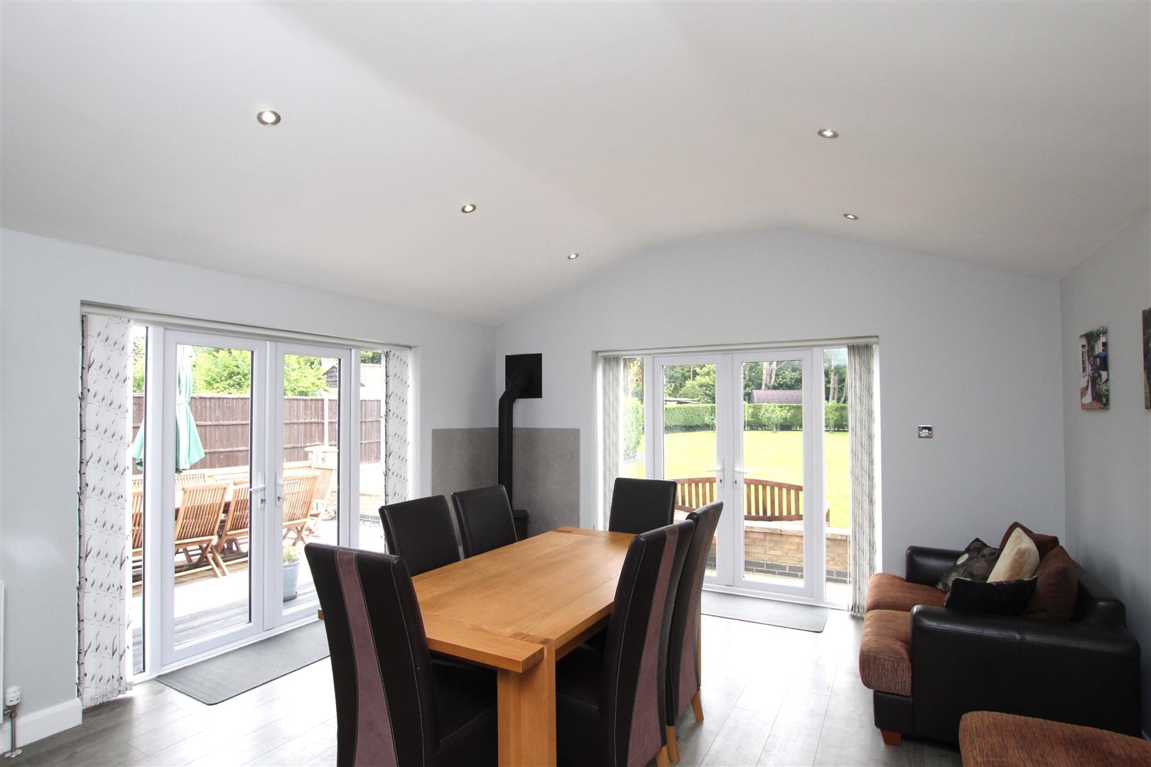
Extended Kitchen/Dining/Family Room - 7.95m x 4.34m (26'1 x 14'3)
Cream coloured re-fitted kitchen with comprehensive range of wall and base units and featuring a large ‘island’ all base units under a ‘Pietra Oatmeal’ solid worksurface which extends over the island forming a breakfast bar. Inset cream coloured one and a half bowl single drainer sink top. Built-in dishwasher. Space for range cooker. Two double radiators. Modern multi fuel burner. Double glazed, double doors to side and rear with matching side screens.
Landing -
Radiator. Walk-in storage.
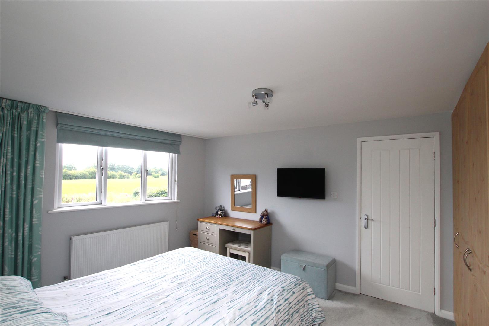
Bedroom One - 3.78m x 3.48m plus depth of furniture (12'5 x 11'5
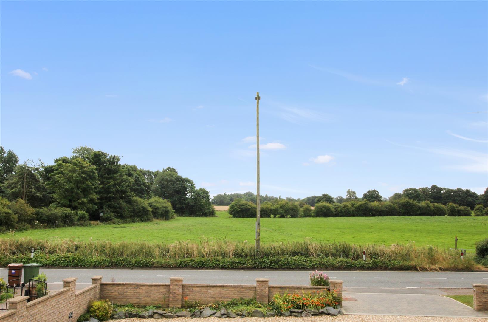
Built-in furniture including two double and two single fitted wardrobes. Radiator. Window to front with view over to countryside. White panelled door to:-
En-Suite Bathroom -
Re-fitted white suite of panelled bath having mixer/shower tap attachment. Large walk-in shower. Wash hand basin and W.C. in vanity unit with cream ‘crackle’ top, fitted cupboards and shelving. Matt black towel rail. Velux rooflight. Mermaid style boarding to water sensitive areas.
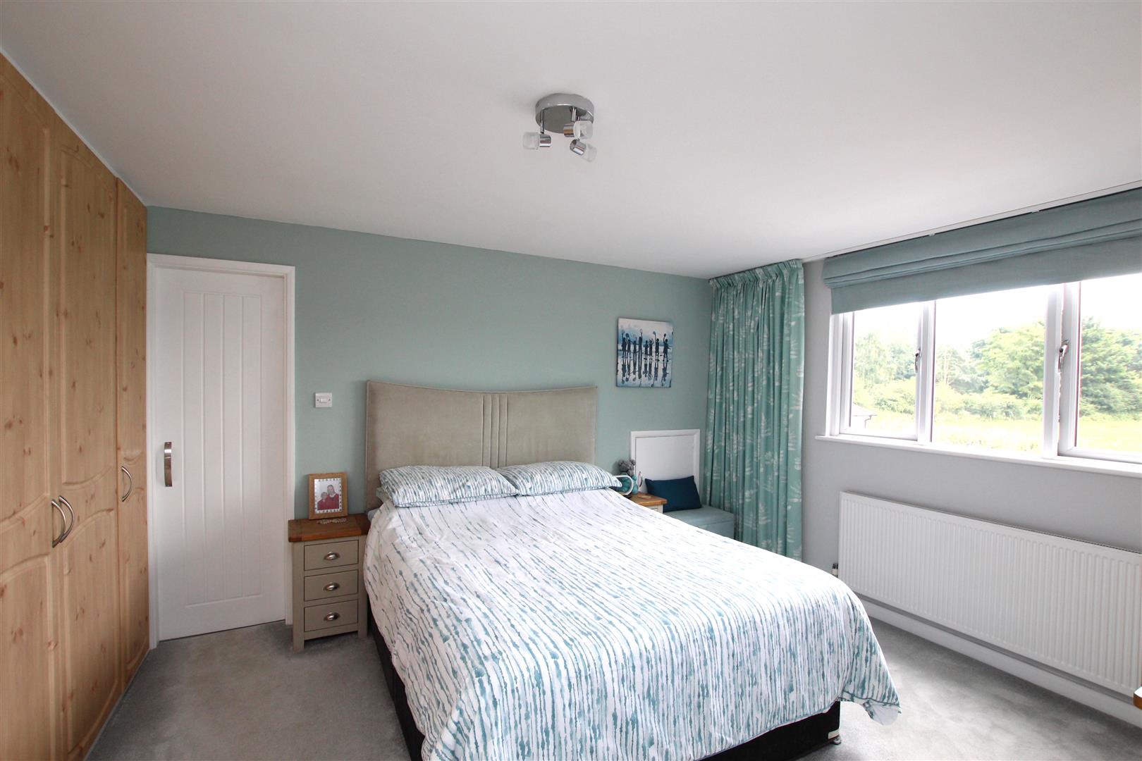
Bedroom Two - 3.78m x 3.61m plus wardrobe (12'5 x 11'10 plus war
Double fitted wardrobe. Radiator. Window overlooking rear garden.
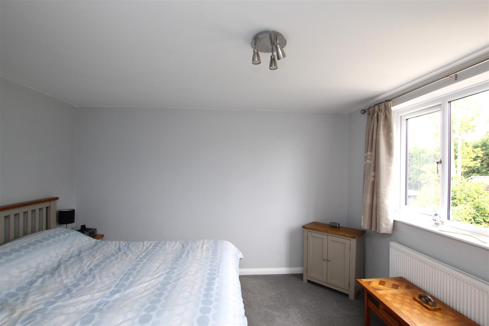
Bedroom Three - 4.65m x 2.36m (15'3 x 7'9)
Window to front with views over to countryside. Radiator.
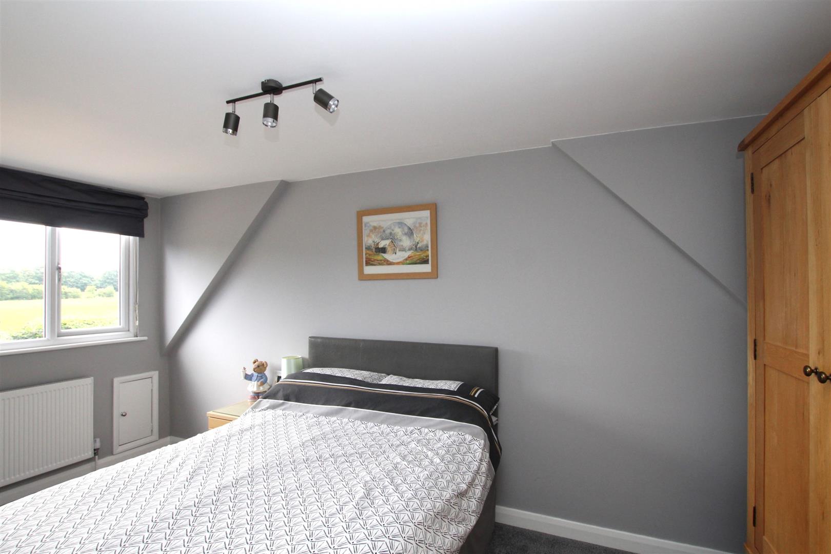
Bedroom Four - 3.89m x 2.39m + wardobe (12'9 x 7'10 + wardobe)
Double fitted wardrobe. Airing cupboard. Radiator. Window to rear overlooking the rear garden.
Re-fitted Bathroom -
White suite of walk-in shower with rain shower and second shower attachment. Jet-spray bath. Wash hand basin and W.C. in vanity unit finished in grey gloss and having fitted storage and shelving. Mermaid style boarding to water sensitive areas. Window to rear. Radiator.
Outside - Frontage -
Mainly gravelled and providing parking for several cars. Flower borders.
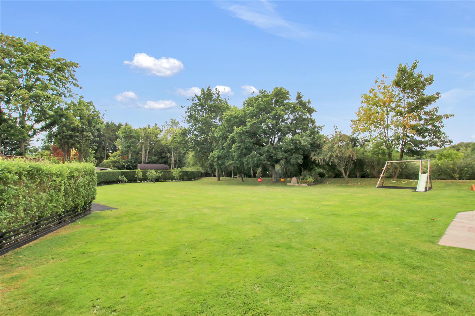
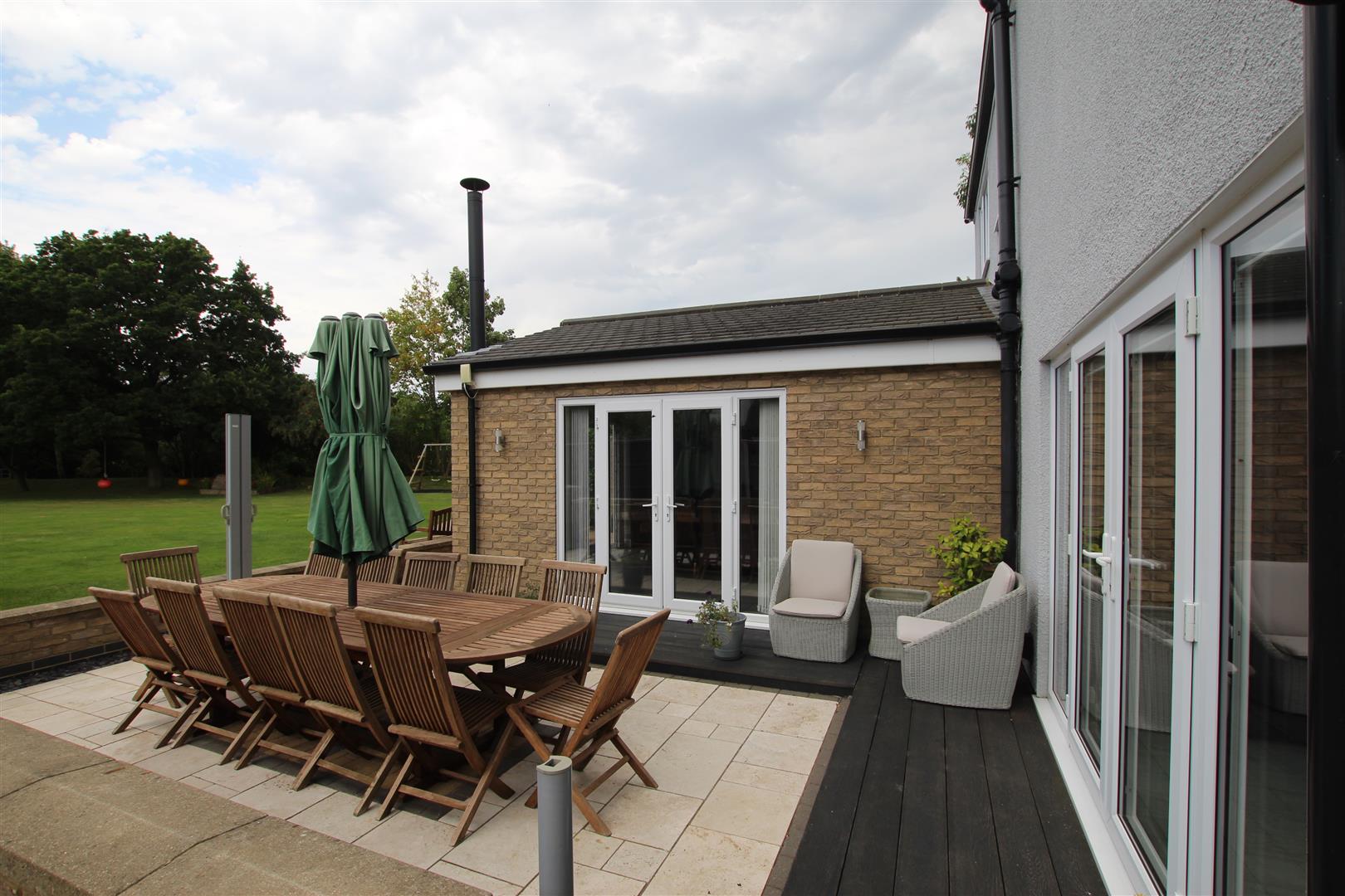
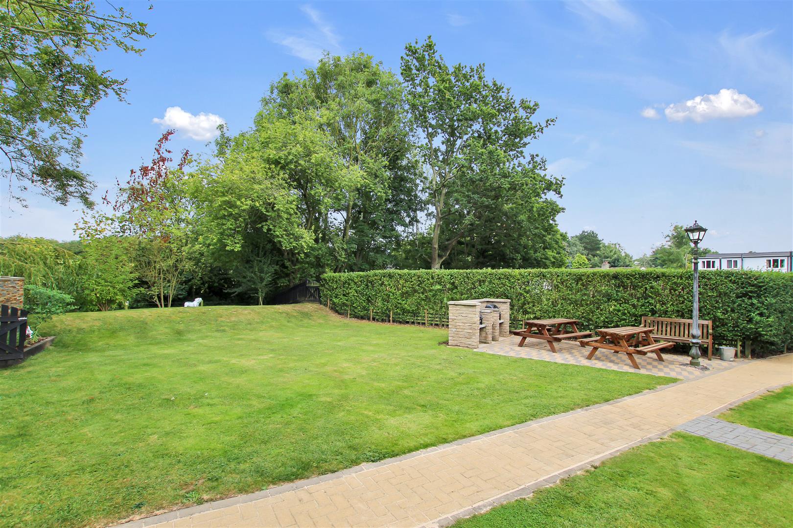
Rear Garden and Patio -
Tarvertine style tiled patio with decked raised surround. Large expanse of lawn. Vegetable plot. Two garden sheds. Rain water harvester.
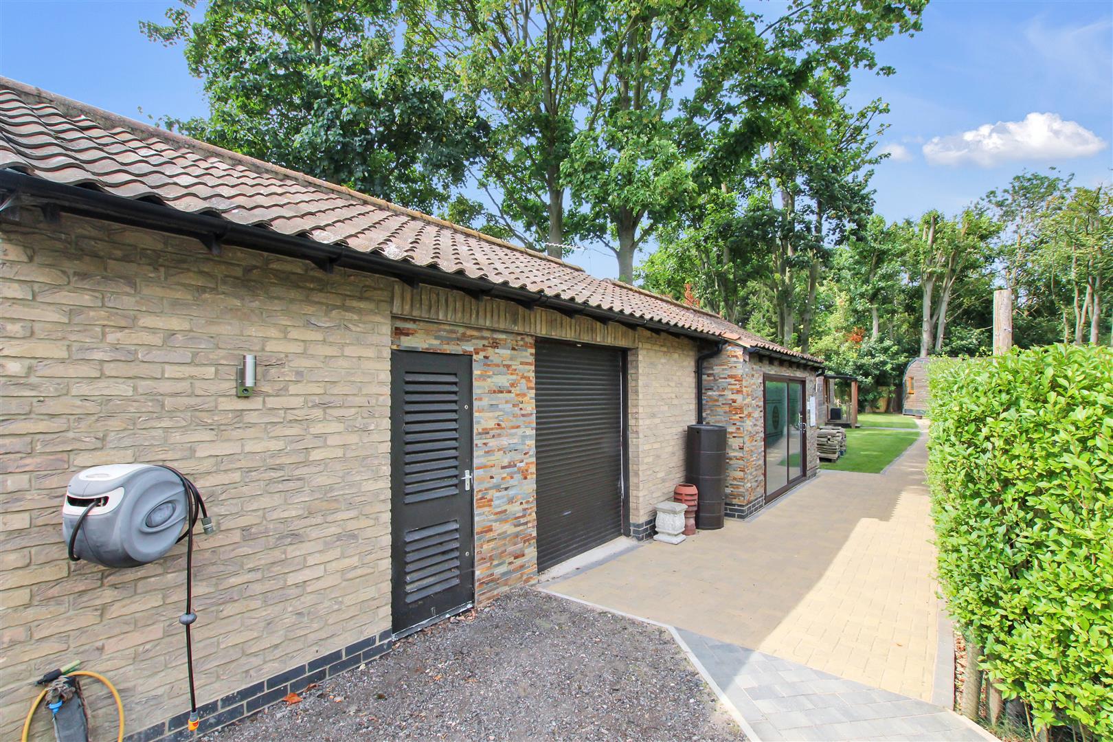
Garage/Storage One - 5.18m x 5.28m (17'0 x 17'4)
Electric roller door. Light and electric.
Garage/Storage Two - 3.96m x 6.60m (13'0 x 21'8)
Electric roller door. Light and electric.
Business Area -
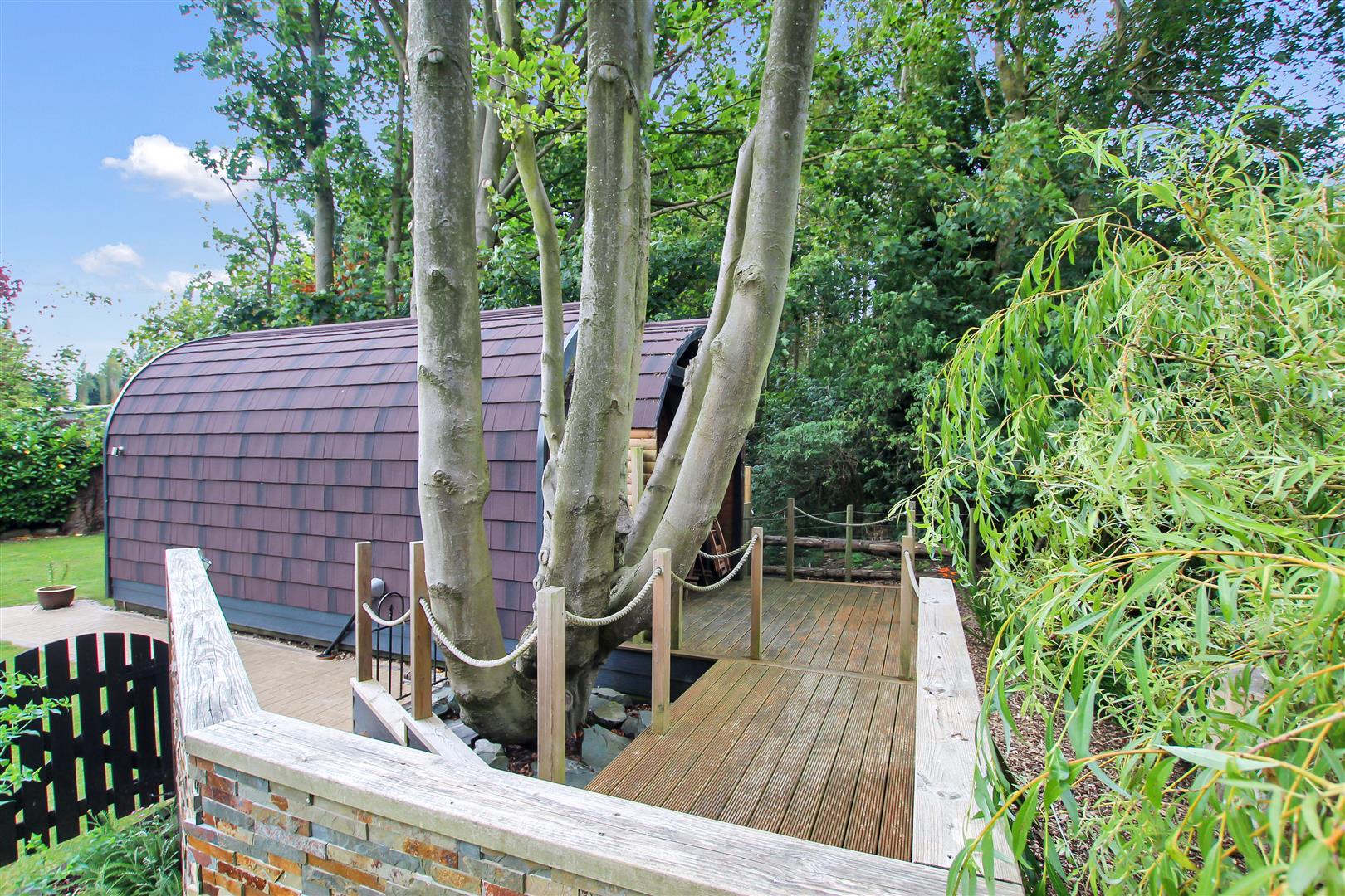
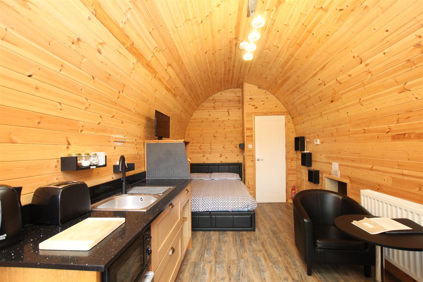
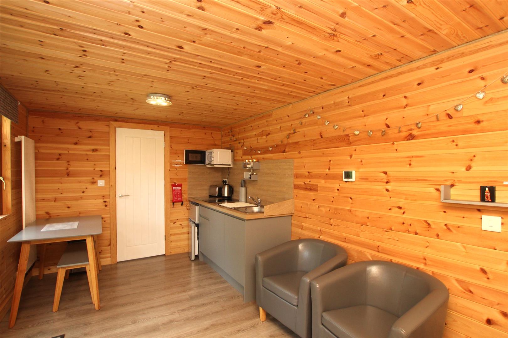
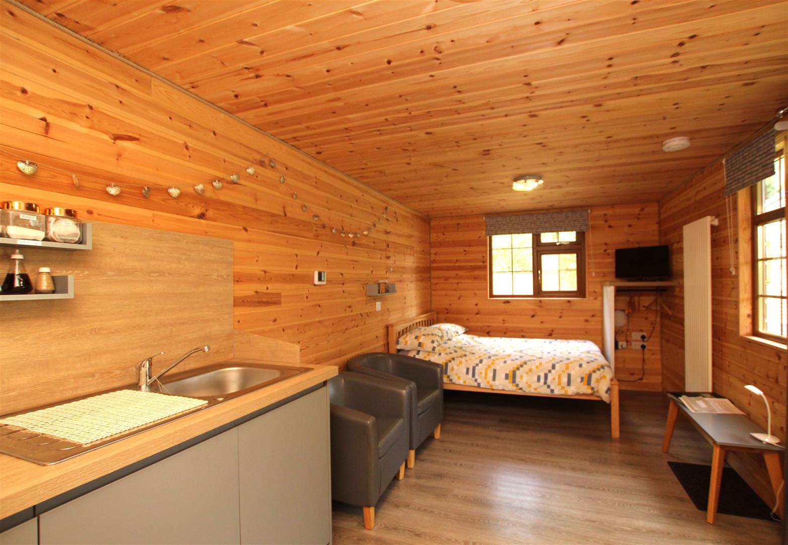
Willow Pod - 5.41m x 2.72m (17'9 x 8'11)
Two white vertical radiators. Two windows to the front. Grey kitchen area with base units and bleached wood effect work-surfacer Two ring ceramic hob. Single drainer stainless steel sink top. Door to:-
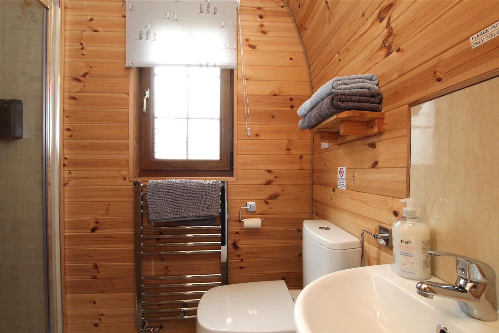
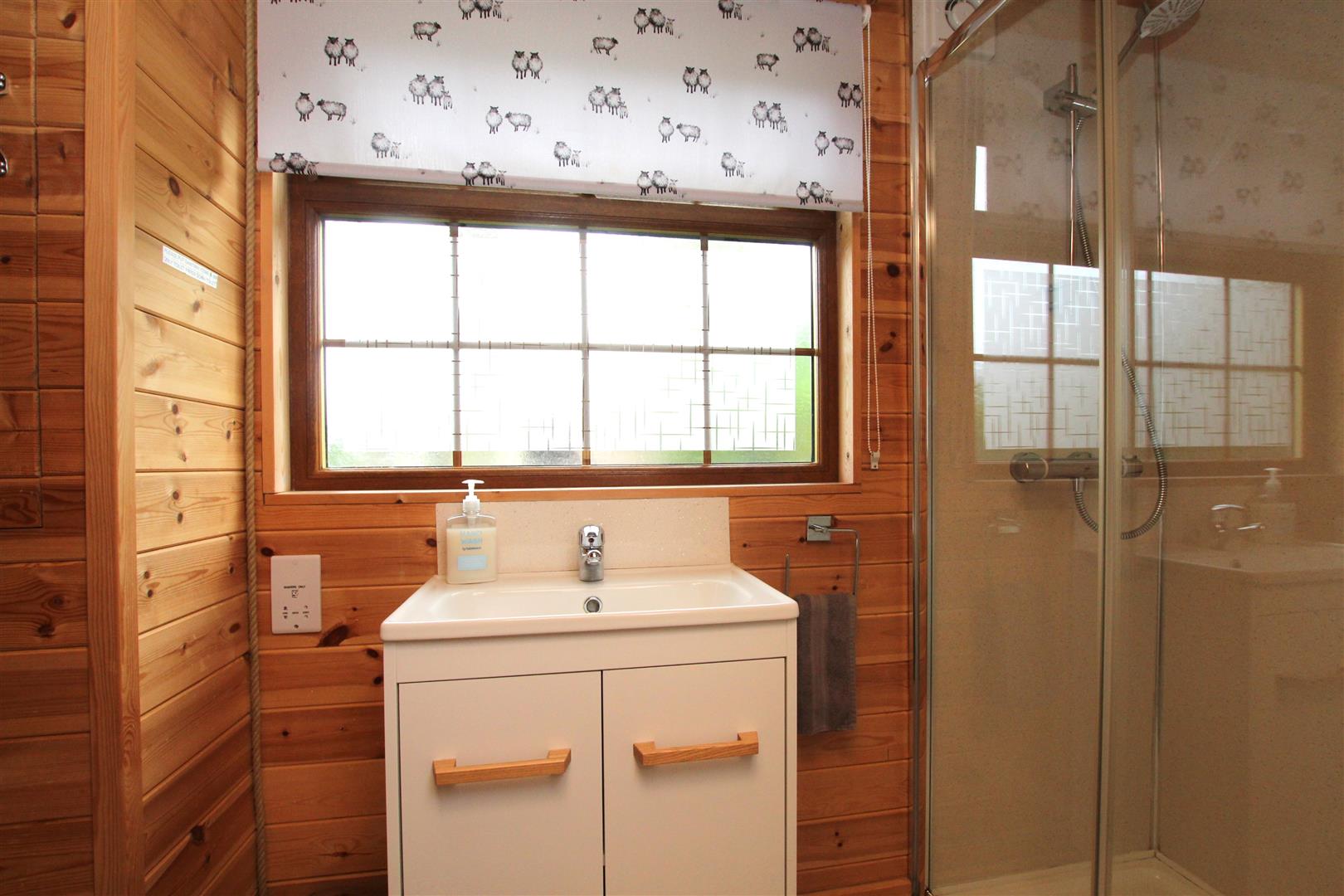
En-Suite Shower Room -
Shower enclosure. Trough style sink with double cupboard under. Low Level W.C. Mermaid style boarding to water sensitive areas. Window.
Outside -
Verrandah/Decked Terrace.
Beech Pod - 4.98m x 2.67m (16'4 x 8'9)
Approached via double glazed sliding patio doors. Double radiator. Maple effect kitchen. Granite run of work-surfaces with inset two ring ceramic hob. Single drainer stainless steel sink top.
En-Suite Shower Room -
Step-in shower enclosure. Low Level W.C. Pedestal wash basin. Mermaid style boarding to shower enclosure. Window to rear.
Outside -
Verrandah/Decked Terrace.
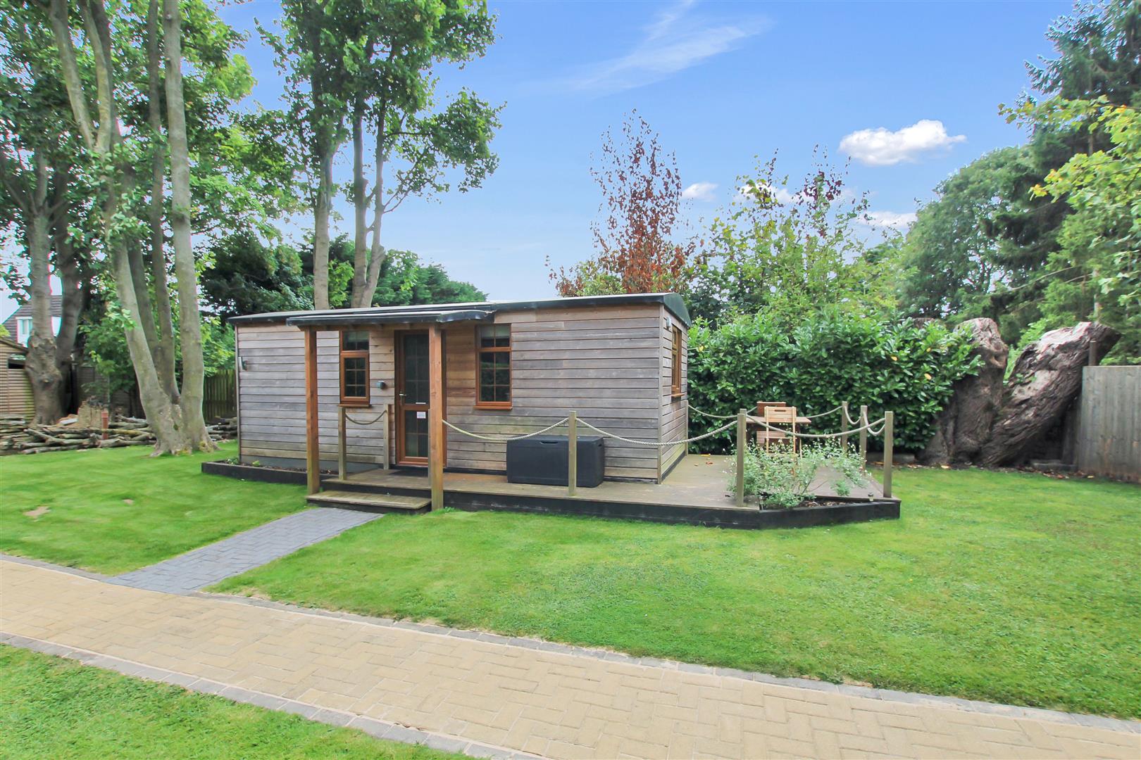
Hot Tub Room - 4.80m x 3.89m (15'9 x 12'9)
Hot tub. Fitted cream coloured kitchen style wall and base storage units. Wet Room Area. Windows.
Additional Information -
Services: All mains services are connected – the main house and both pods have their own boilers
Tenure: Freehold
Energy Rating: D
Council Tax Band: E – North East Lincolnshire
Free, no-obligation valuation for all properties or land in Lincolnshire and surrounding areas
Book a valuationPlease fill out the form below to arrange a viewing
Sign up to receive our latest news and property updates.